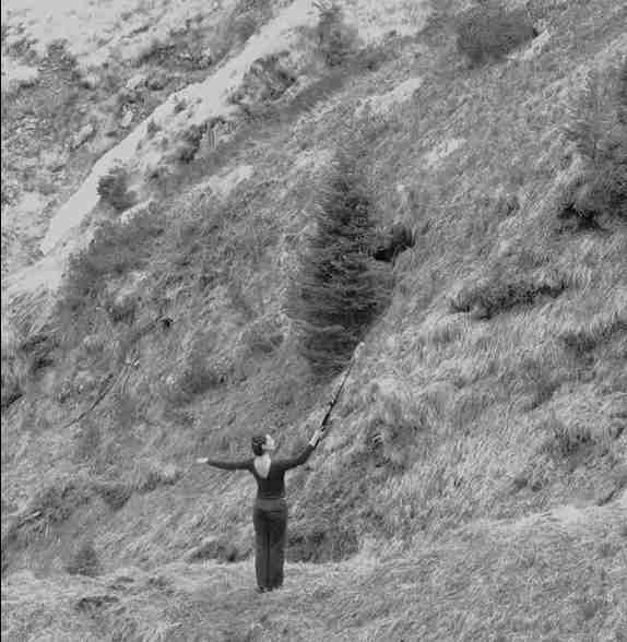
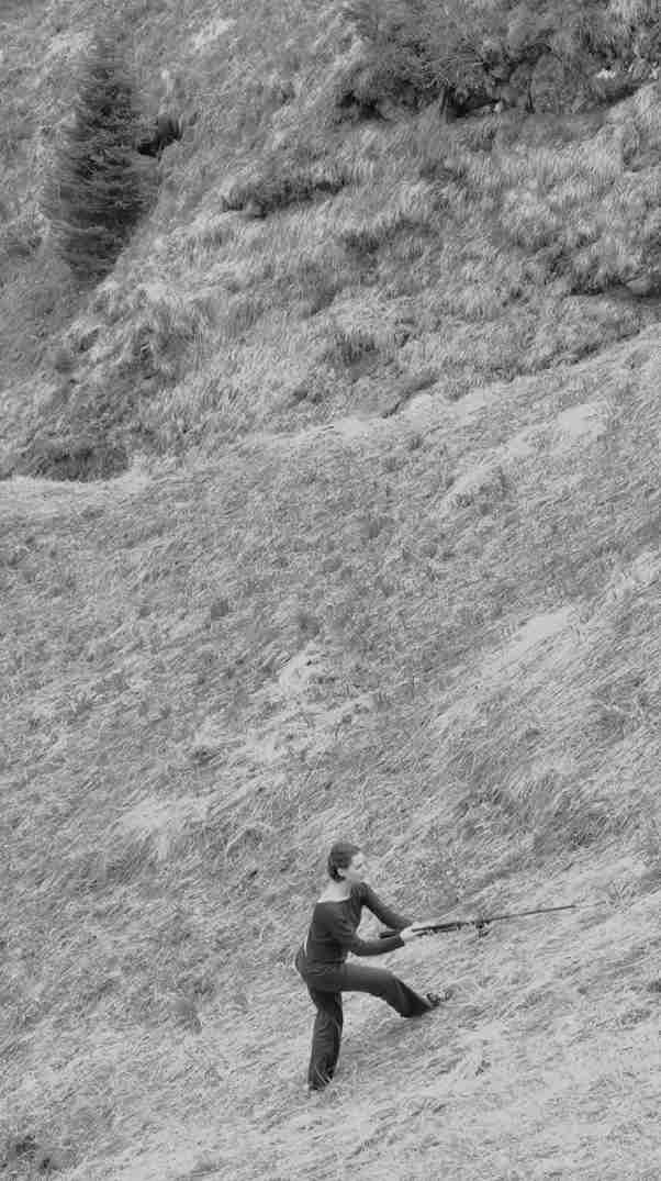
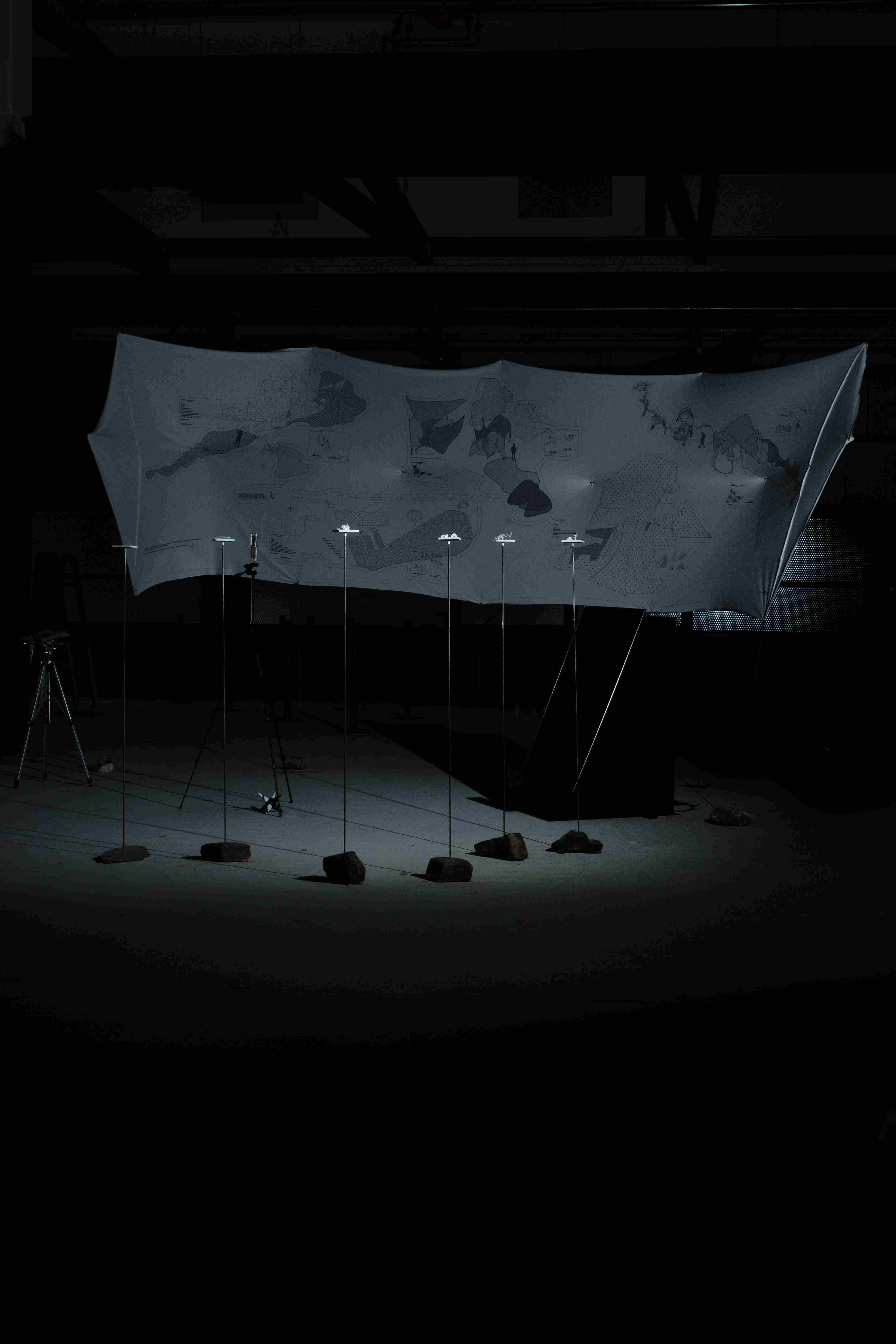
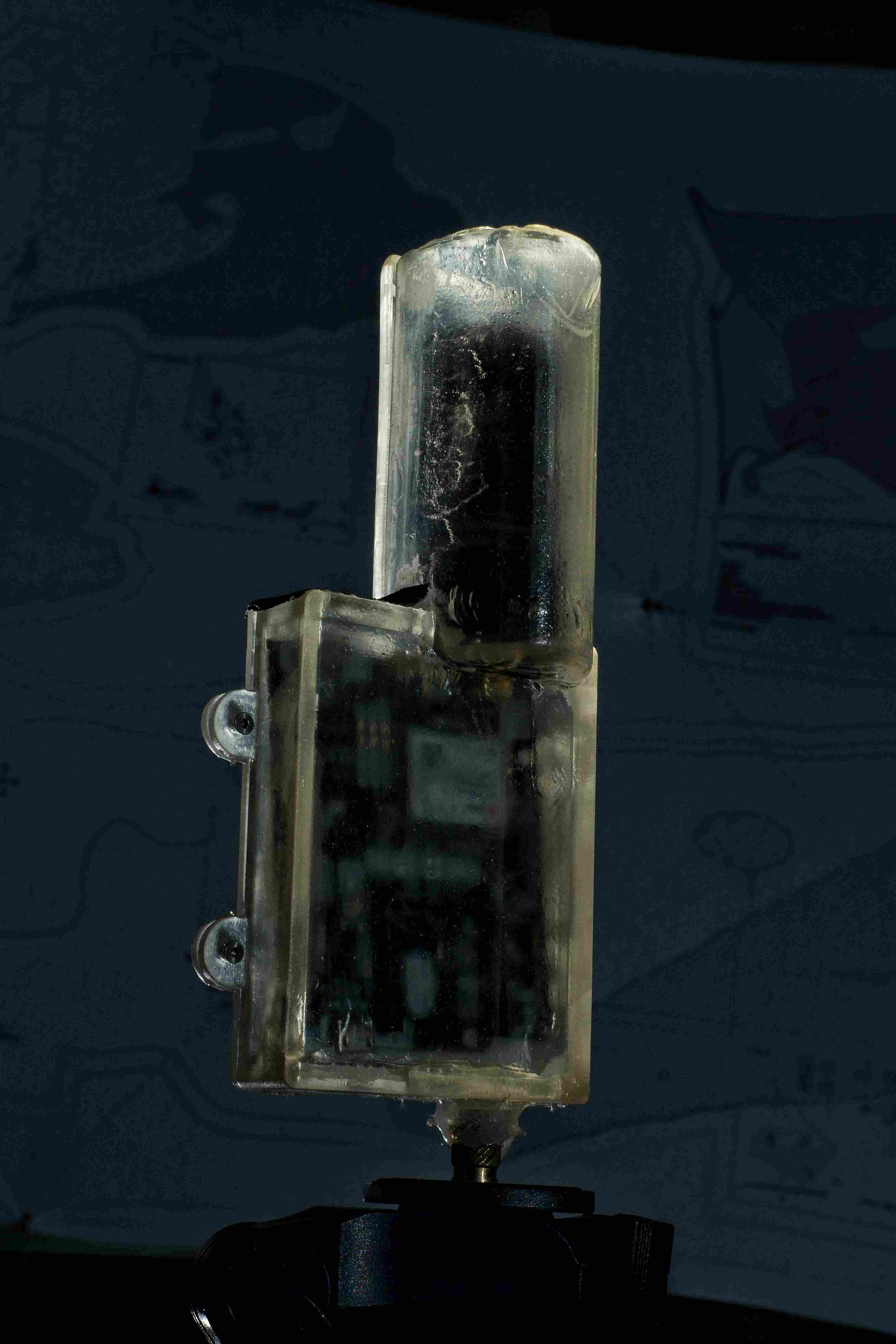
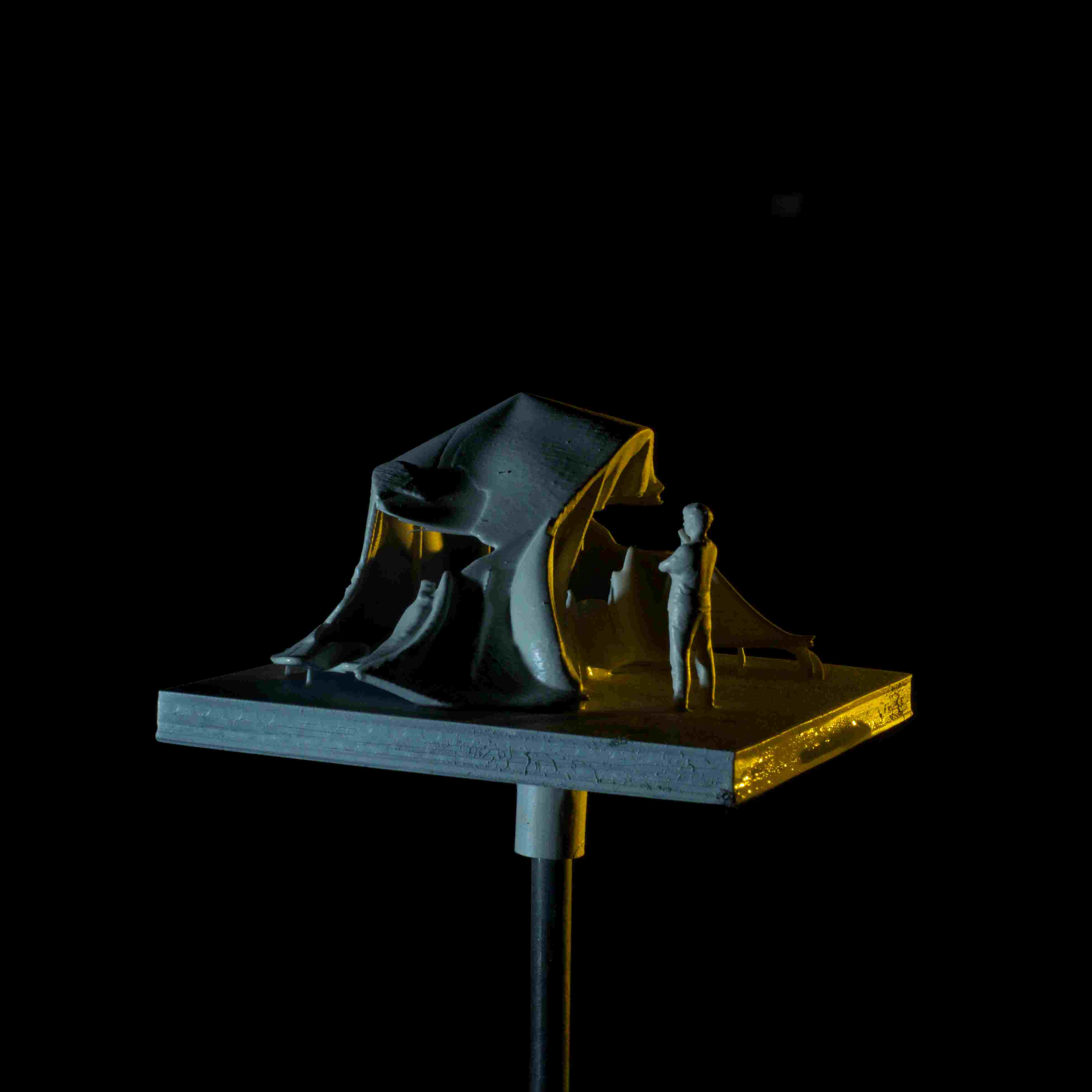
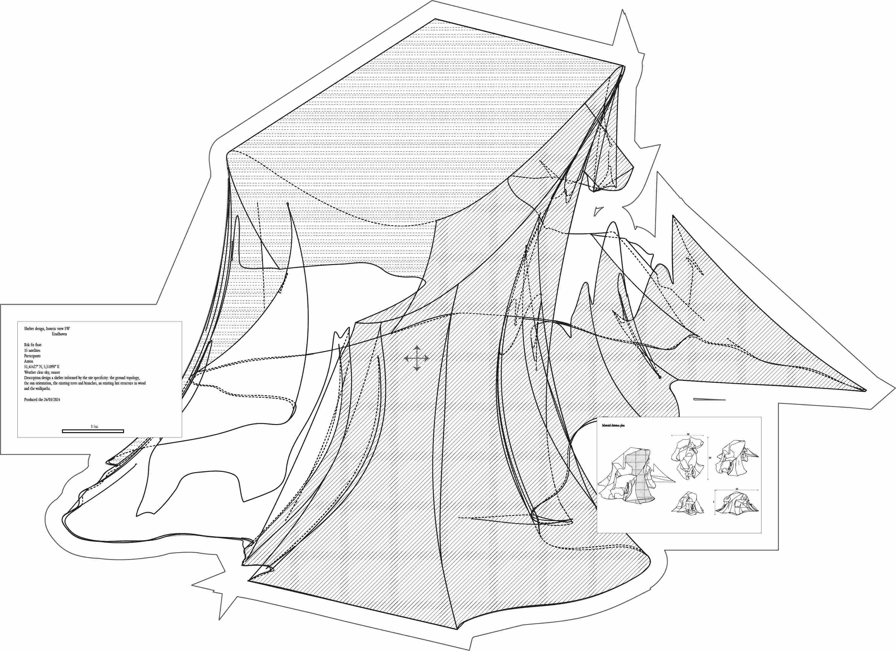
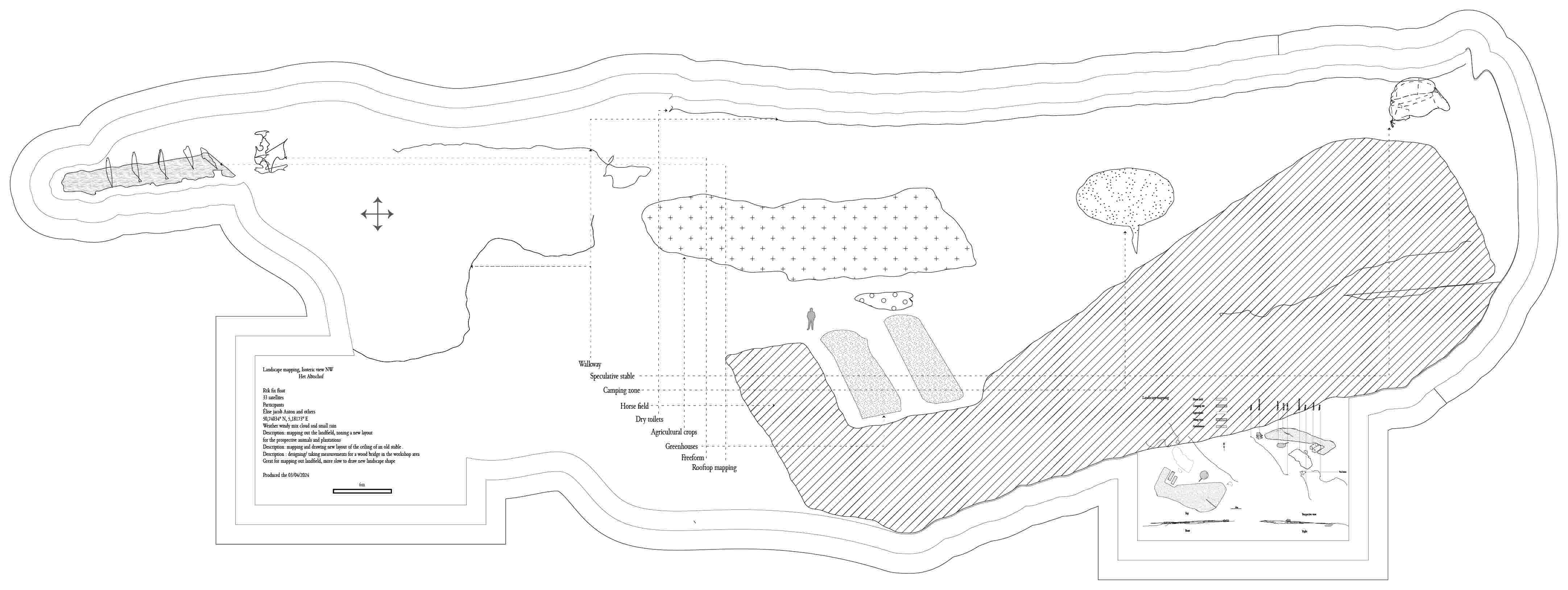
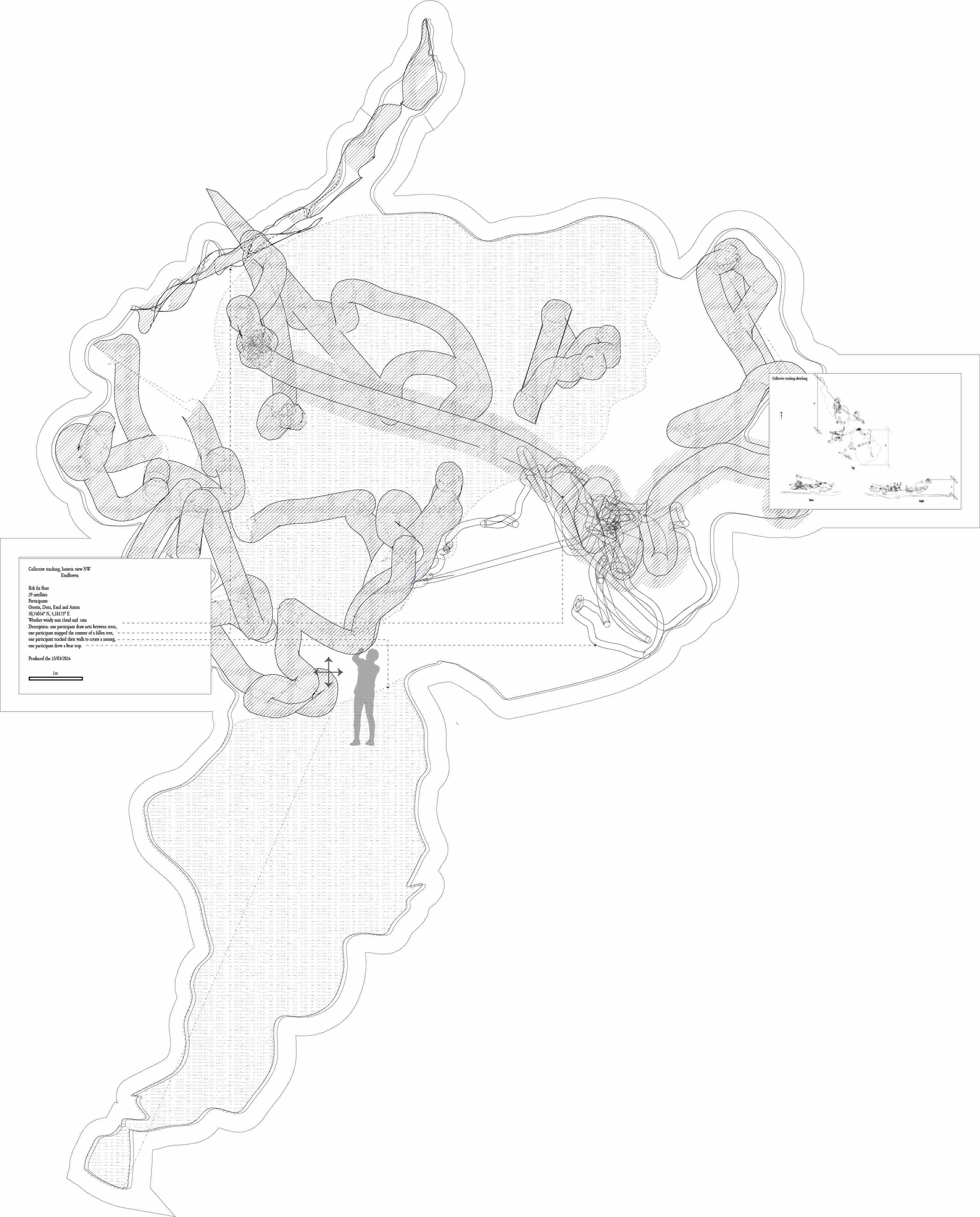
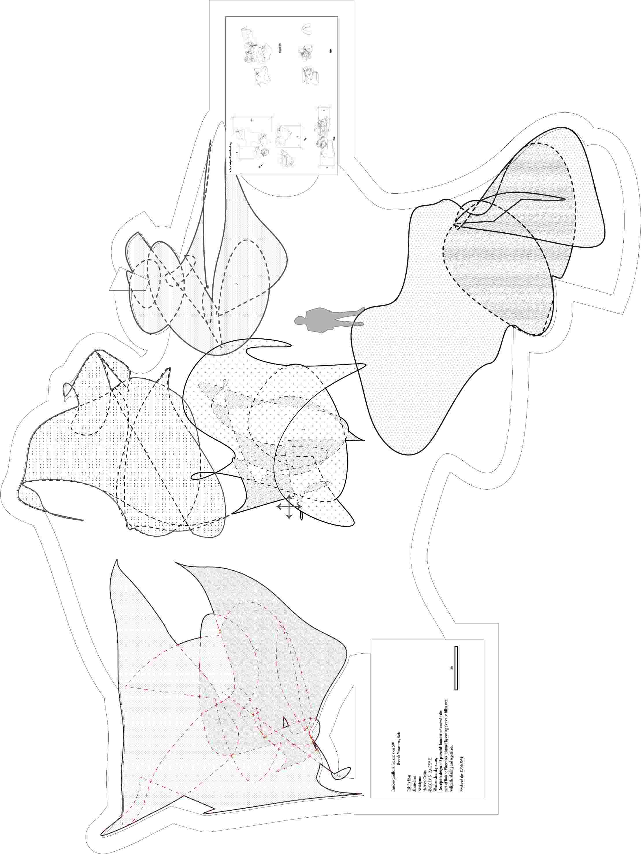
or “for a located digital practice” is a technological methodology for spatial design. The practice is based on a GPS receiver fixed to a telescopic stick tracking the movement of the participant within a site. Like a pen on a paper, the movements are recorded in 3 di - mensions to be able to design the spatial project with centimeter accuracy. Digital design is based solely on a simulation created by satellite views, cadastral plans or other data extraction. By performing the design in situ, the model is accurate and site specific, canceling the need for a simulation. The practice has been influenced by the ethics of ecovillages: a critical approach to tools, an ecological locality and an embodied human-scale design. Therefore, the tool has been tested back within ecovillages to conduct landscaping, interior design or small scale architec - ture design with their residents. What is presented is both the performance of drawing and the digital documents produced from this moment in different contexts playing with the normative aesthetic of architectural drawing. The participant, the weather, the amount of satellites received, the site specificity and the aim of the drawing are all components mani - fested within the drawing. Using GPS (or GNSS, to a technical audience) for in-situ architecture in locality-centered communities engages in a double subversion. First, it subverts the extra-planetary scale of GNSS by using a system de - signed for synoptic vision to create artifacts that are only legible relative to the context they are created in. Second, it subverts the destructive origins of satellite navigation - marking locations for precision guided weaponry - by using the technology to create ima - gined futures, rather than destroy the existing one. Collaboration with Michael Caplan